Continuing to fix each state’s Congressional Districts, we arrive at the last state with two Representatives: Hawaii.
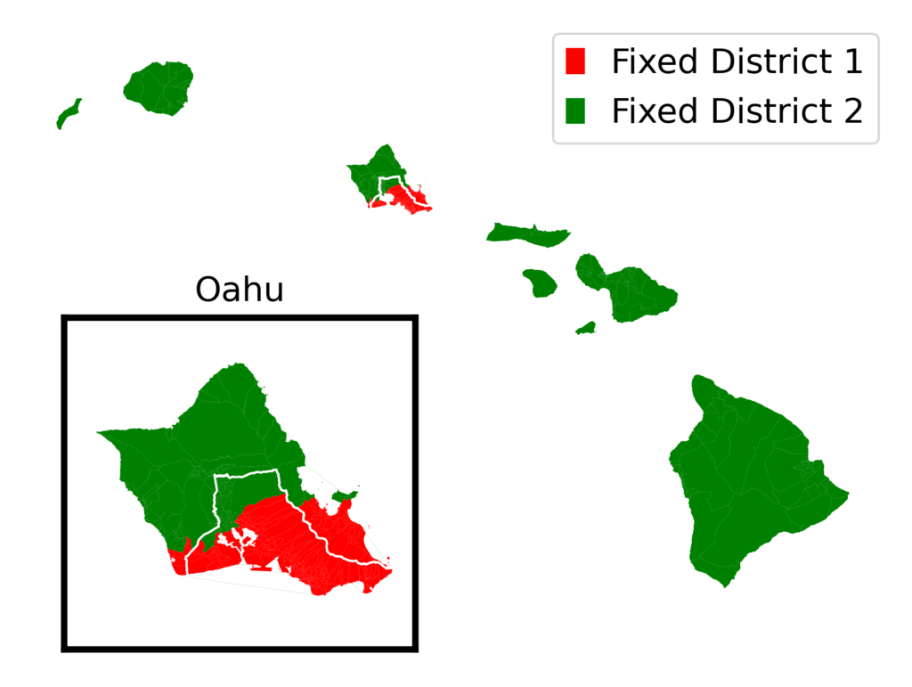
The fair districts that I designed (District 1 in red, District 2 in green) line up fairly well with the official districts (labeled and divided by a white line). My District 1 includes the coastal cities of Kailua and Kaneohe instead of the center-island cities of Miliani and Wahaiwa. Remember that I drew these districts with no reference to official districts, so it’s not a surprise that mine are a little different.
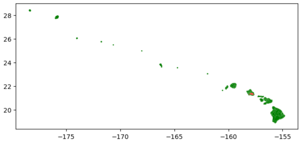
Hawaii was also a particularly interesting state to map. Here is what the map looked like straight out of the box:
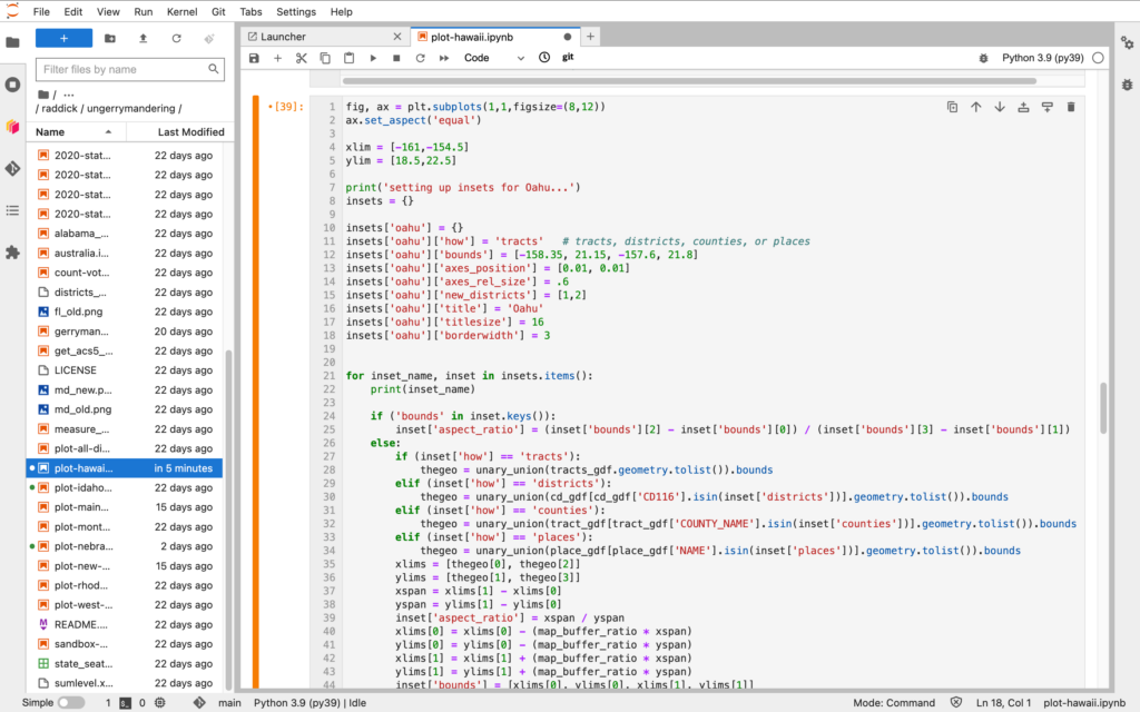
I had to crop out all the uninhabited islands, zoom in on the inhabited ones, fix all the coastlines (like I did with Florida) and add an inset for Oahu so you could see District 1 clearly. Here is part of the Python script to generate the inset map:
It was fun.
Thirteen states down, thirty-seven to go. Up next: the first of two states with three Representatives. The more representatives a state has, the more fun it is to ungerrymander!
Previous entries:
Introduction
Idaho
Montana
Rhode Island
West Virginia
New Hampshire (and again)
Maine